Submitted by: BuckyHermit (from Vancouver, BC, Canada)
Country: United States

State: Washington
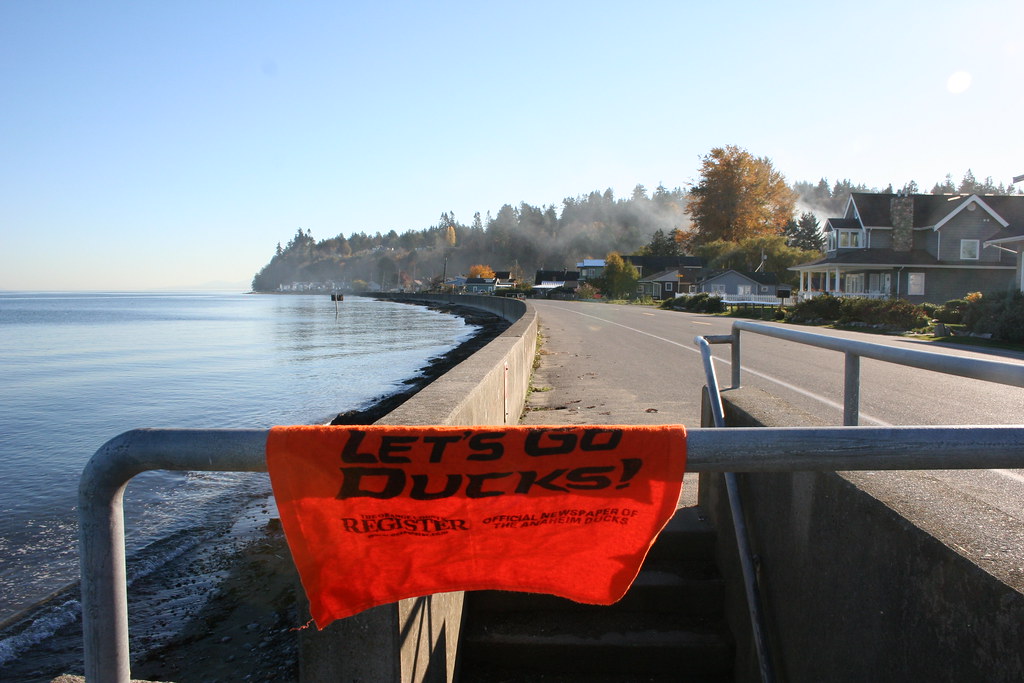
City: Point Roberts
Location: Point Roberts shoreline at Maple Beach [map]
Status since photo:

Point Roberts is one of the few places in the contiguous United States that cannot be reached by land without crossing a customs checkpoint; it is surrounded on three sides by water and one side by Canada. It contains the western-most land border marker in the contiguous United States. After the Fraser River gold rush in the 1850s, Point Roberts was an American military reserve but was never used; it was decommissioned afterwards, allowing for private development. Today, as a result of its geographic anomaly, approximately half of Point Roberts' properties is owned by Canadians (mostly as vacation homes), almost all business there accept Canadian currency as the norm and gasoline is sold in liters rather than gallons.