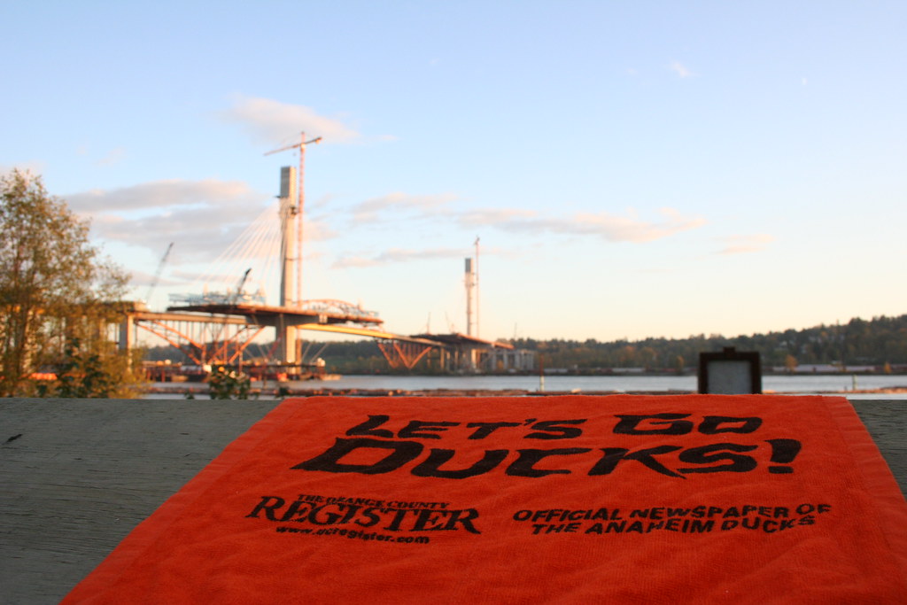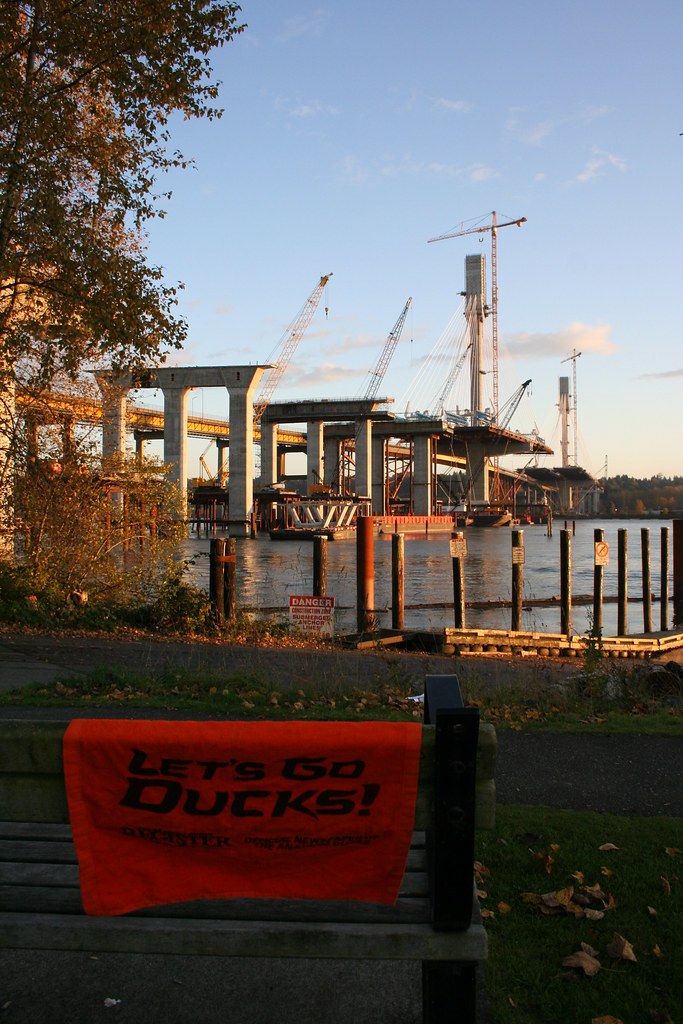

Submitted by: BuckyHermit (from Vancouver, BC, Canada)
Country: Canada

Province: British Columbia
City: Coquitlam, Surrey
Location: Port Mann Bridge, from Maquabeak Park [map]
Status since photo:

The Port Mann Bridge is the name of two bridges in existence in the Fraser River area of British Columbia. The older bridge (in the background of the first photo) opened in 1964 and is the longest arch bridge in Canada and 15th longest arch bridge in the world. The newer bridge, still under construction at photo time and scheduled to open in 2012, will be the second longest cable-stayed bridge in the western hemisphere at 470 meters (1542 feet). It will also be the widest long span bridge in the world at 65 meters (213 feet) wide, beating out the previous record holder, the Sydney Harbour bridge.


