
Submitted by: BuckyHermit (from Vancouver, BC, Canada)
Country: United States

Country: Canada

State: Washington, United States
Province: British Columbia, Canada
City: Blaine, Washington
City: Surrey, British Columbia
Location: Peace Arch International Park [US map] [Canada map]
Status since photo:

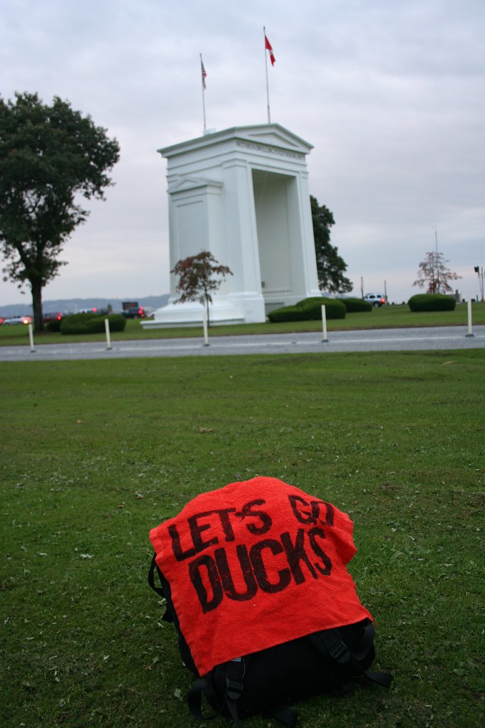
Peace Arch International Park straddles the border between Canada and the United States, which is the world's longest border and longest unmilitarized border. It is located at the northern terminus of Interstate 5 in Blaine, Washington and the southern terminus of B.C. Highway 99 in Surrey, British Columbia. The park is named after the Peace Arch, a white monument that also straddles the border, symbolizing the peaceful friendship between the two countries. The Peace Arch border crossing is the busiest crossing between Canada and the United States west of the Eastern Time Zone. (The second photo in this post was taken exactly on the international border.)